Creating the plan for Lyndale Avenue
We are designing Lyndale Avenue to meet today’s needs and tomorrow’s vision. Last fall we shared design ideas and gathered as much input as possible by engaging with the community in a variety of ways. We appreciate all the feedback and have developed a community-driven design for this project. The plan incorporates the following collective needs and goals shared by residents and businesses:
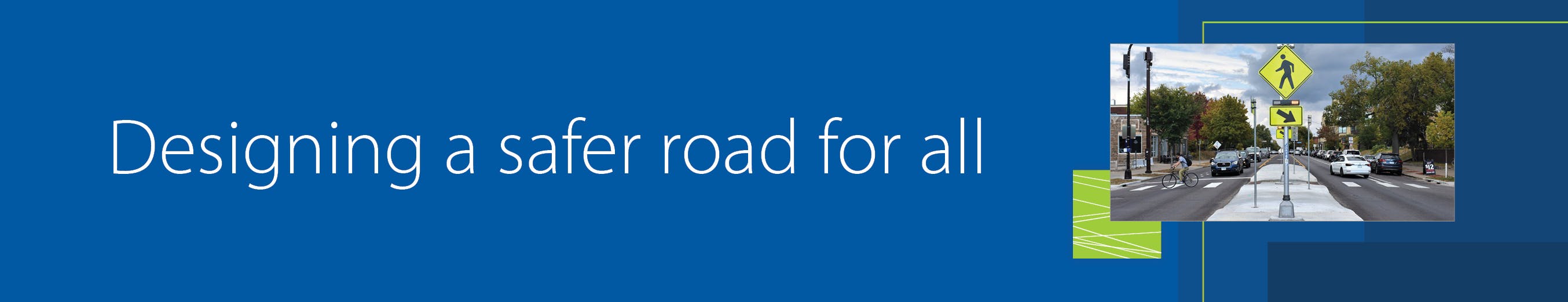
- A safer Lyndale Avenue
- Better connections, comfort, and access for everyone
- Greener street for the future that preserves trees
- Meeting current and future community needs
A look at Lyndale Avenue
With the new design, people will benefit from safety and accessibility upgrades, more green space, and better transit experiences. For businesses, there will still be parking available and curbside space that allows for deliveries, patios and ride share pick-up/drop-off. And, we will be able to address important issues like better stormwater management.
The images and descriptions below show what different sections of Lyndale Avenue could look like.
24th Street to Franklin Avenue
 2100 block of Lyndale Avenue South This section of Lyndale Avenue is just south of Franklin Avenue and provides a connection to downtown and I-94. It continues to be a heavily visited area for businesses and includes new housing developments. The design includes a northbound transit lane to reduce delays for transit riders. Based on our analysis of travel times along Lyndale Avenue, adding a transit lane showed the greatest benefit. The new shared-use path will make it easier for people walking, biking, and rolling to visit places along Lyndale Avenue and will connect to the new bikeway north of Franklin Avenue. Shared-use paths have been used successfully in other similar locations to meet community needs.
24th to 29th streets
 2400 block of Lyndale Avenue South
 2700 block of Lyndale Avenue South
2400 block of Lyndale Avenue South 2700 block of Lyndale Avenue South This section of Lyndale Avenue includes a mixture of retail, dining and housing. The design provides a shared-use path, more green space, and improved lighting to make it safer and easier for everyone to travel along Lyndale Avenue. The parking lane is also transit ready, allowing flexibility for the space in the future. The narrower lanes, curb bump outs and center median improves safety for all.
29th to 31st streets
 2900 block of Lyndale Avenue South
2900 block of Lyndale Avenue SouthThis section of Lyndale is the south end of the project and centers on the Lyn-Lake business district. There is new housing, retail and dining in the area. The plan in this area builds on past roadway improvements. It refines what is out there today and provides curbside space for people visiting businesses. The plan maintains these spaces, preserves trees and narrows the street slightly to add green space and reduce traffic speeds.

Thank you for your contribution!
Help us reach out to more people in the community
Share this with family and friends